
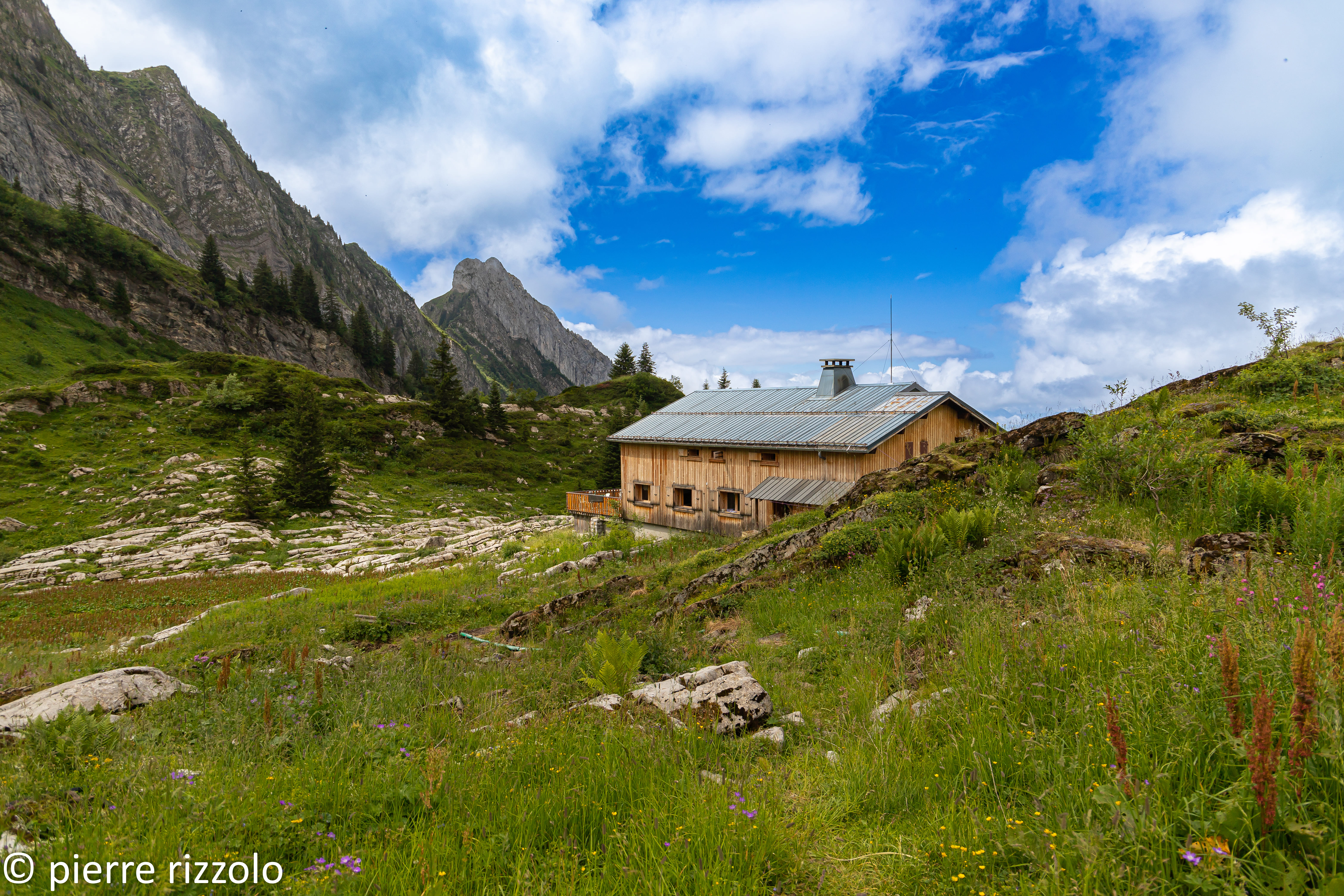
Chalets de Bostan and Golèse pass loop
Samoëns
Chalets de Bostan and Golèse pass loop
Medium
4h
9,1km
+699m
-705m
Embed this item to access it offline
Attachment
- Downloadpdf
boucle-des-chalets-de-bostan-et-col-de-la-golese
Credit: Points d'intérêts du parcours - Asters-CEN74
7 points of interest
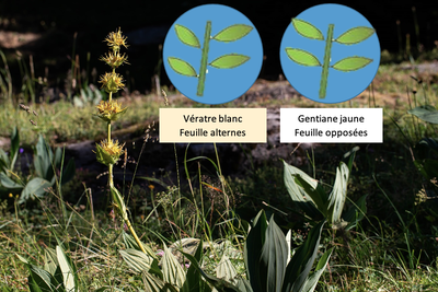
Gentiane jaune et différence gentiane vératre - @PierreRizzolo  Flora
FloraGreat yellow gentian
Great yellow gentian is a plant regularly found in calcareous mountain pastures and meadows. Looking at just the leaves, it can often be confused with the white hellebore, a plant with alternating leaf arrangement. The gentian, on the other hand, is an opposite leaves plant. Gentian roots are also used to make liqueur. The plant needs to be at least 10 years old before it can be harvestable! What's more, the yield of liquor produced per root is very low: you need 10 kg of roots to produce one litre of liqueur!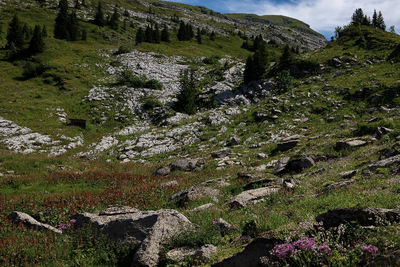
Formations géologiques calcaires - @PierreRizzolo  Geology
Journey to the Earth's core
This part of the Alps is a land of sedimentary mountains. The limestone was formed over millions of years by the accumulation of sediment and seashells at the bottom of an ocean (between 250 and 50 million years ago). These massifs are marked by the presence of numerous sinkholes and chasms carved out by the water as it dissolved the limestone. The nearby Jean-Bernard chasm, with a depth of -1602 metres below sea level, is one of the best-known in the world.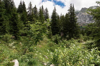
Pâturages boisés entre le refuge de Bostan et Golèse - @PierreRizzolo 
Woodland pastures
Woodland pastures are particularly rich in biodiversity. They combine plant and animal species found in forests with those found in pastureland. Coniferous wooded pastures are the preferred habitat of the Black Grouse! These habitats, known for their biodiversity, are in part fostered by human intervention and shepherding. The disappearance of traditional pastoral practices is complicating the conservation of these environments.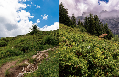
Landes à rhododendron et genévrier - @PierreRizzolo FloraDwarf forests or heathlands
Heathlands are littered with low-growing plants that are resistant to wind and snow. Two different groups of plants are commonly found, depending on the sun exposure of the hillside. On the north-facing slope with little exposure to the sun, heathland is dominated by alpenrose and green alder. On the south-facing slopes, warmed by the sunlight, the predominant species is juniper (both common and savin).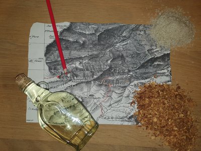
produits de contrebande et carte - @PierreRizzolo 
A Franco-Swiss border
The Franco-Swiss border can be reached via the Col Bostan pass. For centuries, this border was the crossing point for many people: migrating populations, war refugees, etc. Smugglers used the pass to illegally transport goods between the two countries (alcohol, cigarettes, sugar, butter, shoes, ammunition). Just imagine the men who used this route in all weathers and seasons, usually carrying dozens of kilos on their backs at night!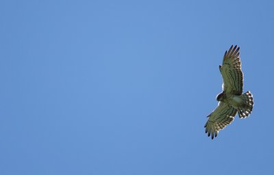
Circaète jean le blanc en vol - @JulienHeuret  Fauna
FaunaThe snake eater
The short-toed snake eagle is a bird of prey that can be found in areas inhabited by reptiles. They feed almost exclusively on snakes! It hunts its prey in two ways. In poor flying conditions, it searches for its prey by lying in wait on a tree or rock. When the weather permits, they are known for their motionless hovering flight, which differs from that of the Kestrel, which hovers and flaps its wings rapidly.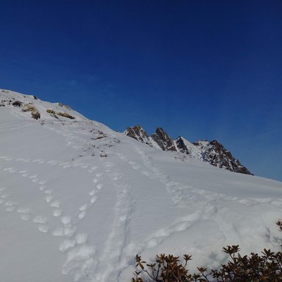
traces-hiver-Lagopéde - @julietteBuret FaunaCoping with winter
Winter is a harsh time of year for most species, so everyone has their own strategy for staying alive during these long months. While the ground is an excellent shelter for small invertebrates, it can also be a shelter for larger animals such as snakes, which hide under large stones, or tortoises that burrow themselves into the ground... Marmots do the same, sealing up their burrows before going into hibernation. Other animals who remain active for only a few hours during the day can use the snow to insulate themselves from the cold, for example black grouse. Just be careful not to trample on their shelters!
Description
From the Plan des Arches parking area: follow signposts for "refuge de Bostan" and at the "Le Plan" junction, turn right towards "refuge de Bostan par le Palatieu". After a zigzagging climb through the spruce trees, you join the driving road leading to the refuge de Bostan through the mountain pastures. From the Refuge de Bostan, follow the 4x4 road for 200m, then turn right at the sign for the Col de la Golèse and Refuge de Golèse. Follow a flat "sente" to the Plateau des Lagots, then walk downhill for about 15 minutes to the Refuge de la Golèse. From the Golèse refuge, all that remains is to descend following the main trail. The descent takes around 1h15 down to the Plan des Arches parking area.
- Departure : Plan aux Arches parking area
- Arrival : Plan aux Arches parking area
- Towns crossed : Samoëns
Altimetric profile
Recommandations
Always be careful and plan ahead when hiking. Asters, CEN 74 can not be held responsible for the occurrence of any accident or incident on this trail. Natura 2000 bird protection zone is off-limits.
Transport
Transport - https://pysae.com/info/#/sat-train-bleu/ Summer bus shuttle service in July and August.
Access and parking
As you leave the village of Samoëns, head towards Chevreret, les Allamands and then drive to the furthest car park at Plan des Arches (1096m / 15-minute drive from the village).
Parking :
Plan aux Arches parking area
Report a problem or an error
If you have found an error on this page or if you have noticed any problems during your hike, please report them to us here: