Lornaz trail in Verchaix

Verchaix
Lornaz trail in Verchaix
Easy
1h30
2km
+117m
-112m
Embed this item to access it offline
Walk along the stream, beneath the shade of the beech trees, accompanied by flying wagtails.
Attachment
- Downloadpdf
sentier-de-lornaz-a-verchaix
Credit: Points d'intérêts du parcours - Asters-CEN74
3 points of interest

 Fauna
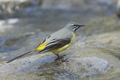
FaunaGrey wagtail
A small passerine species (like tits, sparrows or finches), the grey wagtail has a slim appearance, a long wagging tail and yellow feathers (wing edges, belly, tail...). Its singing is similar to that of swallows. It can be recognised by its long tail, which it wags rapidly to keep its balance, spending most of its time on the ground. The wagtail frequents the same aquatic environments as the common dipper, sometimes even claiming old dipper nests as their own!
 Lake
LakeLa Valentine: Watercourse management
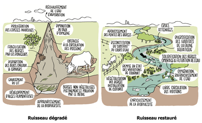
A tributary of the Giffre, the Valentine stream originates at the Col de Joux Plane. Like most mountain streams, this watercourse is subject to various threats, such as the growth of outdoor recreational activities, the emergence of new sports, the proliferation of invasive species, changes to the water balance and global warming. The management of watercourses is a responsibility entrusted to local authorities, which we call GEMAPI (gestion des milieux aquatiques et prévention des inondations - management of aquatic environments and flood prevention). The Montagnes du Giffre Community of Municipalities is responsible for managing the Giffre valley, with the SM3A acting as manager.
 Flora
FloraIdentifying beech and hornbeam trees
Here's a reminder so you never confuse hornbeam and beech again! The beech leaf has a smooth, slightly fuzzy edge, whereas the hornbeam leaf has a serrated edge. Beech (Fagus sylvatica) belongs to the Fagaceae family, together with oak and chestnut. The beech blooms every spring but only yields fruits every 5 years. The beechnuts resemble small triangular chestnuts, which are loved by birds, deer, wild boar, etc.
Description
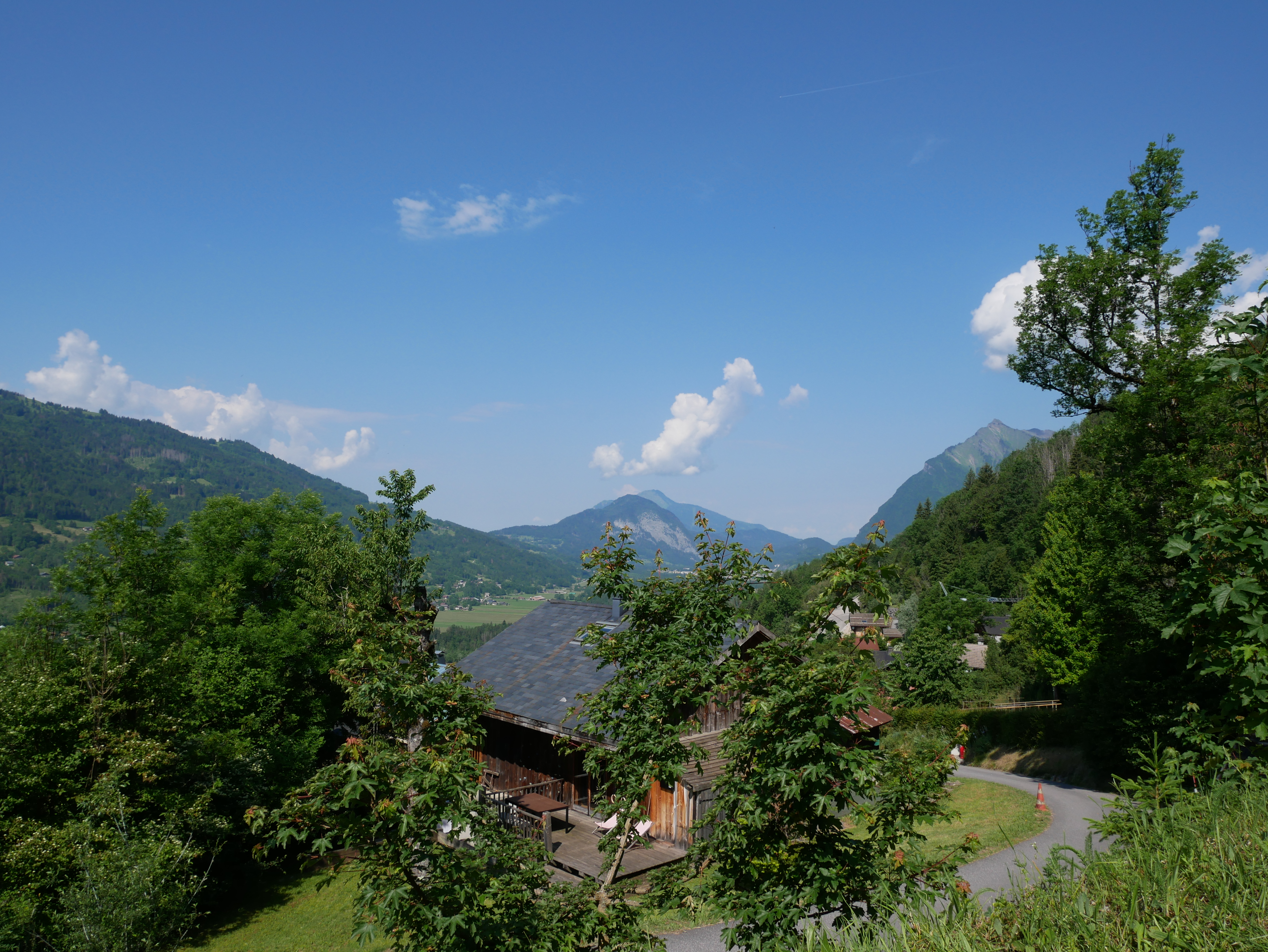
At an altitude of 788 m in the center of the Verchaix village, after passing the church, turn left on a narrow path leading downhill. Before you enter the forest, you can enjoy a lovely panoramic view of the Morillion village and Flaine. Continue along the road, then keep left at the “Charrière” hamlet. Continue straight ahead. The road will soon become a forest path. After a refreshing stop at the Valentine river, turn left again towards the Lornaz hamlet to return to your starting point.
- Departure : Verchaix Church (Eglise de Verchaix)
- Arrival : Verchaix church (Eglise de Verchaix )
- Towns crossed : Verchaix
Altimetric profile
Recommandations
Not suitable for prams & pushchairs! Always be careful and plan ahead when hiking. Asters, CEN 74 can not be held responsible for the occurrence of any accident or incident on this trail.
Report a problem or an error
If you have found an error on this page or if you have noticed any problems during your hike, please report them to us here:
