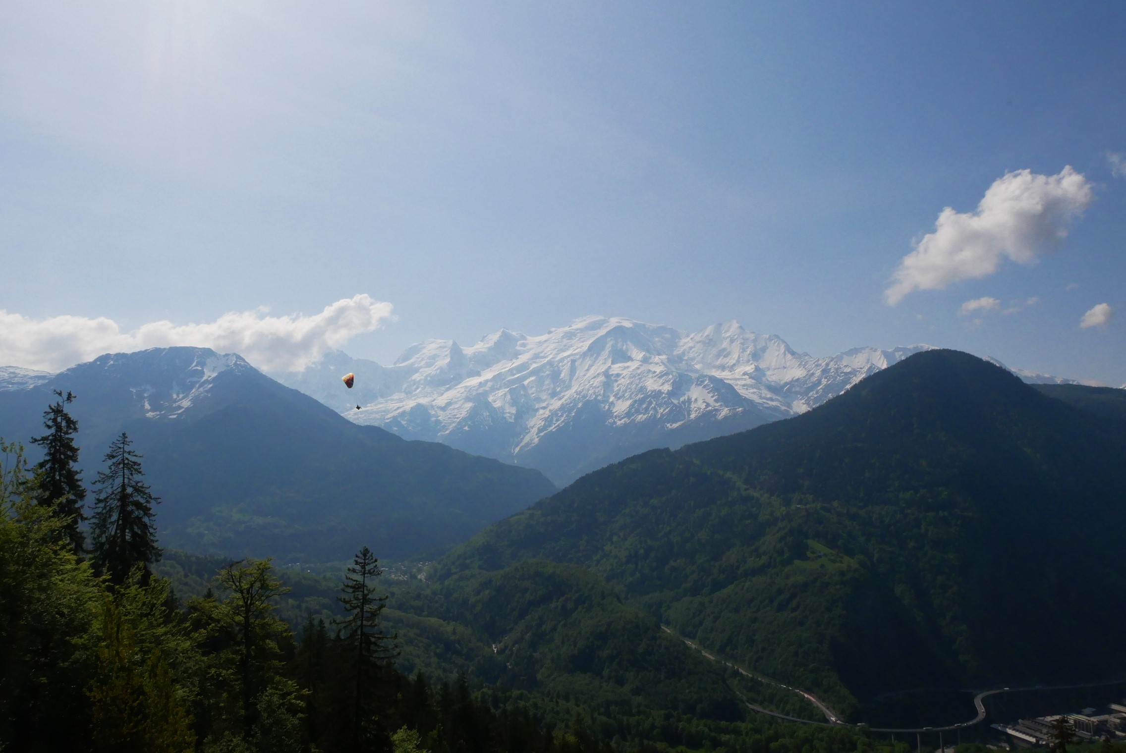
Walk from the Plateau d'Assy to Lac Vert via the Nant Bordon footbridge
Passy
Walk from the Plateau d'Assy to Lac Vert via the Nant Bordon footbridge
Easy
2h30
7,7km
+313m
-314m
Embed this item to access it offline
Alternate, rarely used path that will take you straight to Green Lake… take your time to learn to tell different trees apart!
Attachment
- Downloadpdf
Balade-du-Plateau-d'Assy-au-Lac-Vert
Credit: Points d'intérêts du parcours - Asters-CEN74
4 points of interest
 Flora
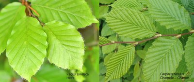
FloraIdentifying beech and hornbeam trees
Here's a reminder so you never confuse hornbeam and beech again! The beech leaf has a smooth, slightly fuzzy edge, whereas the hornbeam leaf has a serrated edge. Beech (Fagus sylvatica) belongs to the Fagaceae family, together with oak and chestnut. The beech blooms every spring but only yields fruits every 5 years. The beechnuts resemble small triangular chestnuts, which are loved by birds, deer, wild boar, etc.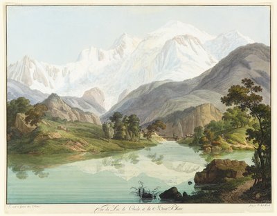
@JeanAntoineLinck  Geology
The Bordon nant
A nant is a term used to refer to a mountain stream. This environment is very difficult for aquatic life. The old road leading to the Lac Vert was destroyed by an overflow of the Bordon nant as a result of extreme weather. 100 years earlier, a major landslide caused the demise of a magnificent lake, the Lac de Chéde.
@Pauline-et-ses-crayons  Fauna
FaunaA mountain for everyone
Let's enjoy the mountain flowers without picking them, let's walk on the signposted trails and avoid trampling the natural environment around us, let's close the gates to the pastures to respect the work of the shepherds. Nature is our common home, a living space for wildlife and biodiversity as well as a working space. Every gesture counts, no matter how small, so spread the word to your neighbour!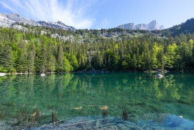
Les eaux turquoises du Lac Vert - Julien Heuret - CEN 74  Lake
LakeLac Vert (Green Lake)
This lake of extraordinary colour was most likely formed when the Dérochoir ( Fiz ridge to the north) collapsed in 1471. There are several explanations for its emerald green colour, including the surrounding vegetation, most of which consists of spruce trees that are reflected in the water. But the presence of blue-green algae or cyanophyceae in the lake is also a likely cause. The water originates from springs that irrigates the lake from both the surface and the deep depths.
Description
Take the road From Place Tobé parking area. After the Ugine bridge, keep straight ahead on the Marie Curie promenade, until you see the yellow trail markers: Sancellemoz (alt 1020m). On your right, follow the signposts to Vert Lake on a forest trail below the paved road. After the footbridge, take a country road to Vert Lake. Return by the same way, or take the bus from Plaine Joux to the Assy Plateau.
- Departure : Place Tobé, rue de l'Eglise, 74480 Passy
- Arrival : Lac Vert (Green Lake), Plaine Joux
- Towns crossed : Passy
Altimetric profile
Recommandations
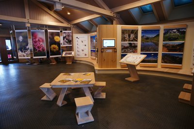
Make the most of your journey to Lac Vert and visit the exhibitions at the Maison de la Réserve Naturelle in Plaine Joux.
Information desks
Transport
Timetables of the bus route Y85 – Sallanches, Passy, Plaine Joux. Access for disabled persons: 4 parking spaces are provided at the junction of the Promenade Marie Curie and the Route du Lac Vert, near the totem sculptures.https://www.altibus.com/wp-content/uploads/2022/01/Navettes-Passy.pdf
Access and parking
Parking :
Place Tobé, rue de l'Eglise, 74480 Passy
Report a problem or an error
If you have found an error on this page or if you have noticed any problems during your hike, please report them to us here:
