Col de Tricot via Le Champel
Saint-Gervais-les-Bains
Col de Tricot via Le Champel
Medium
5h30
12,4km
+1012m
-1014m
Embed this item to access it offline
At the edge of the Contamines-Montjoie nature reserve, learn more about the surrounding geology and flora.
3 points of interest
@Asters-CEN74  Lake
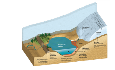
LakeGlacial lakes, trailblazing ecosystems
Haute-Savoie's glaciers have lost 30% of their total surface area since 1850. The Bionnassay glacier here has retreated nearly 325m since the 1990s, creating a lake in the 2000s. Glacial retreat creates new lakes in some of the hollows where the glacier once stood. These new lakes are therefore still ‘dynamic’ and can give rise to hazards; they are constantly being created and then emptied. The de-glaciated surface is composed of up to 90% mineral zones (rock outcrops, moraine, scree), with the remainder made up of conifers, grassland, deciduous trees and lakes. In the Alps, scientists have modelled the expected emergence of between 200 and 900 additional lakes by 2100 on the new de-glaciated zones. (Bosson et al., Nature 2023). High mountain landscapes are changing, revealing new, rich and wild ecosystems!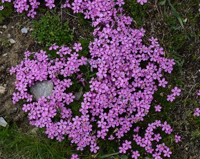
@julietteBuret  Flora
FloraSilene acaulis
It is an evergreen perennial ground cover plant. The leaves of Silene acaulis form a kind of moss carpet from which pink flowers with a short peduncle emerge. This plant can be seen from June to August. Despite being called acaulis (= stemless), this plant has a small, robust stem that can climb limestone and stony soils at altitudes of up to 2800 m!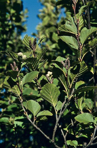
@Asters-CEN74  Flora
Florareen Alder (Alnus alnobetula): a valiant but dangerous coloniser
A familiar sight in the steep ravines and slopes of the mid-mountain regions of the Alps and Corsica, Alnus alnobetula has the unique ability to bend under snow and even rockslides without breaking. It grows rapidly, taking just a few decades to transform a meadow into a dense forest. This prevents the seeds of other trees from sprouting, thus blocking the natural evolution of the Alpine ecosystem. This plant improves soil quality: Green alder retains nitrogen in the soil and also strengthens the soil that is vulnerable to landslides thanks to its robust roots. However, Green Alder is also considered to be a threat to ecosystems: it colonises environments lacking other plant species by overgrowing fields that could be suitable for grazing and spreads nitrogen, nitrate and nitrous oxide, which in large quantities is harmful to the environment.
Description
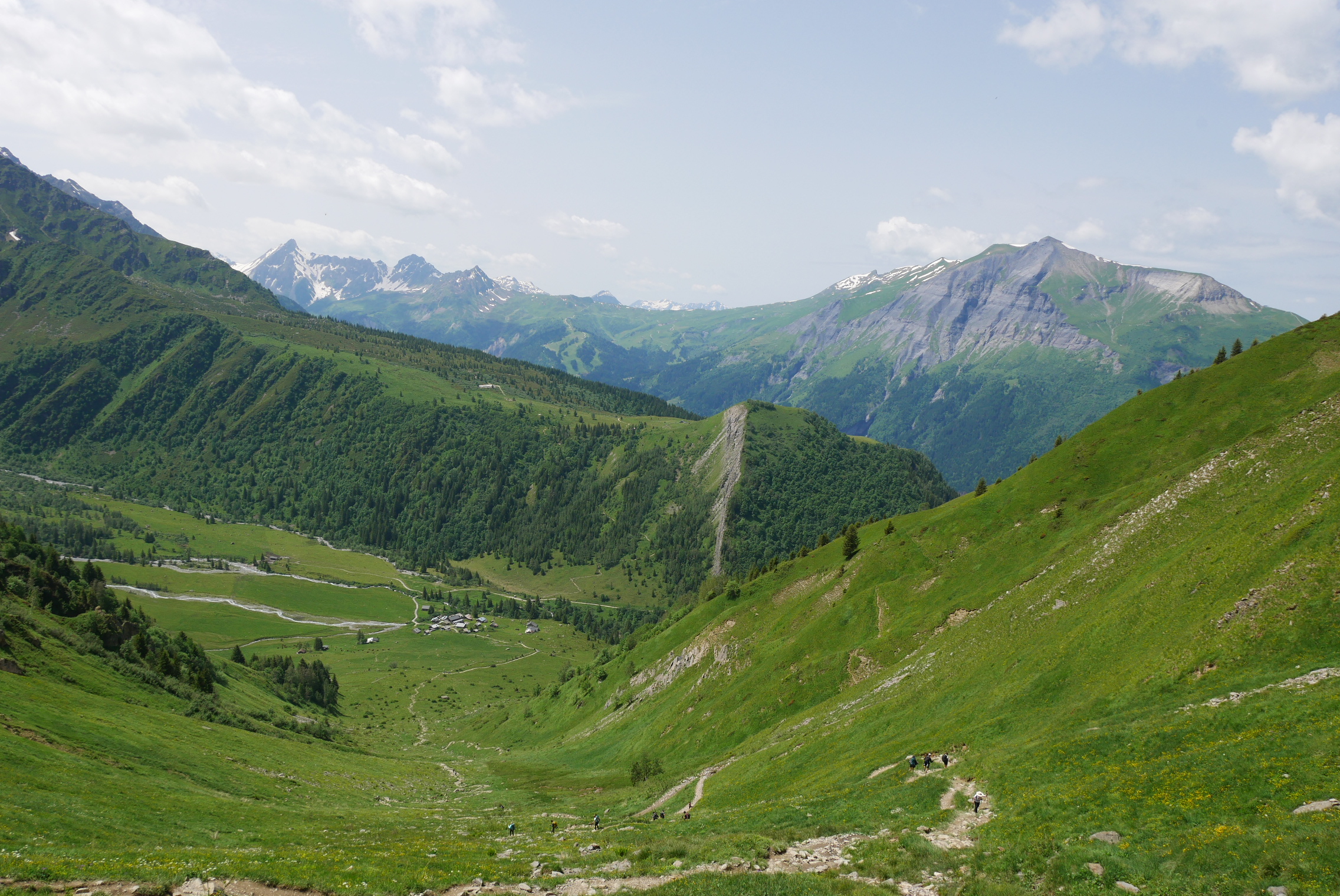
From Le Champel parking area (1166 m altitude), follow the Col de Tricot. Cross the hamlet of Le Champel and continue along a wide forest track on your left, skirting the Bionnassay mountain stream below. Pass the Chalet de Presbert.
Before the Chalet du Chalère, fork right, continuing towards the Col de Tricot. The climb starts to become steeper in the forest. A short stair section leads safely up to the Combe des Juments.
Take the Tour du Mont Blanc GR route (long-distance hiking route) on the right to avoid the névés (partially melted compacted snow) and get a better view. The first part of the route offers fine views of the glacier and the Aiguille de Bionnassay, the Mont Lachat, the Tramway du Mont-Blanc and the Nid d'Aigle...
When you reach the col, you can make a short optional climb to the top of Mount Vorassay to enjoy the view over the valley at 2303 m altitude. The descent on the other side of the col takes you 550m down to the hamlet of Chalets de Miage.
Before reaching the hamlet, turn right in the direction of ‘le Champel’ along the balcony path of the gorges de la Gruvaz and its ravines.
Return to Le Champel via Les Chosalets and Le Tranchet.
- Departure : Le Champel
- Arrival : Le Champel
- Towns crossed : Saint-Gervais-les-Bains
Altimetric profile
Recommandations
Always be careful and plan ahead when hiking. Asters CEN-74 cannot be held responsible for any accident or inconvenience that may occur on this route. Check the weather conditions before setting off. Mountain Rescue contact details: call 112
Access and parking
Parking :
Le champel
Report a problem or an error
If you have found an error on this page or if you have noticed any problems during your hike, please report them to us here:
