Getting to La pierre Fendue (The Split Stone) from Lintre
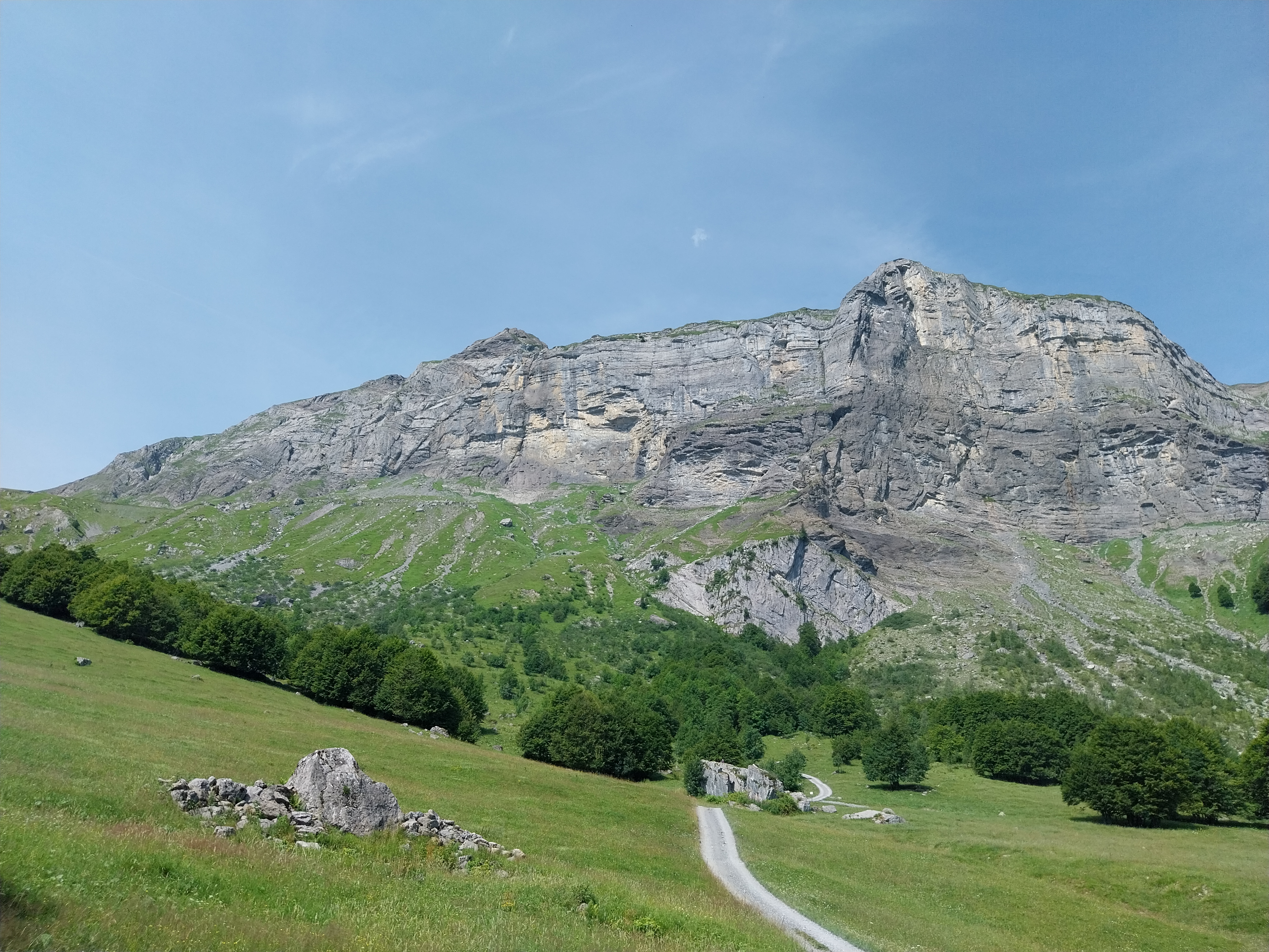
Sallanches
Getting to La pierre Fendue (The Split Stone) from Lintre
Medium
3h30
9,4km
+505m
-508m
Embed this item to access it offline
Discover geological and ornithological points of interest while enjoying the view!
5 points of interest

@Paulineetsescrayons  Fauna
FaunaA mountain meant to be shared: Natura 2000 protected area
This area of the Aravis massif is designated as a wildlife park and a Natura 2000 protected area under the Birds Directive on the conservation of wild birds. The aim of Natura 2000 protected area is to harmoniously blend in human activities and the need for protection of biodiversity: this site is home to iconic species such as the Rock Partridge, the Black Grouse, the Rock Ptarmigan and the Bearded Vulture. For more details: https://inpn.mnhn.fr/docs/natura2000/fsdpdf/FR8212023.pdf Borne-Aravis massif only has a Natura 2000 protective status, which is quite unusual when compared to other northern French Alpine massifs. Other massifs usually have their own regulations (nature reserve, nature park or geopark) to protect these unique areas and biodiversity that thrives there. Nature is our common home, it is a living space for biodiversity, as well as a working space. There are a lot of people sharing it and every environmentally conscious action counts, no matter how small. Spread the word!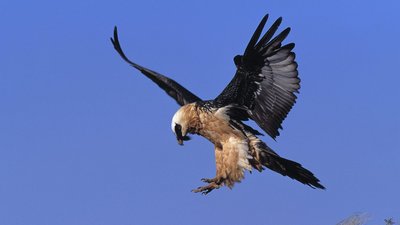
Gypaète barbu - @Asters-CEN74  Fauna
FaunaFaune
The Bearded Vulture is very sensitive to disturbance throughout its breeding cycle. In the Alps, the Bearded Vulture population is still growing following the reintroductions that began in 1987 but the number of couples present is still low. The Bearded Vulture's High Sensitivity Zones (ZSM - Zone de Sensibilité Majeure) are designated in close collaboration with local actors. Hang-gliding and climbing activities are prohibited during the sensitive period (from 1/11 to 31/08).
Pierre fendue (1396 m) - @julietteBuret  Geology
Legend of the Split Stone
An unusual boulder that has fallen and split, right in the middle of the mountain pastures at an altitude of 1380 m in the Aravis massif. It is situated at the foot of the Tête du Gréppon (Gréppon peak) and the Cascade des Fours (Fours waterfall), enjoying a 360° panoramic view of the 3 massifs (Fiz, Aravis and Mont-Blanc). The boulder is said to have contained a vein of gold, which explains why people tried to split it in two! (reference: Pierre Millon Alpes Magazine 1998)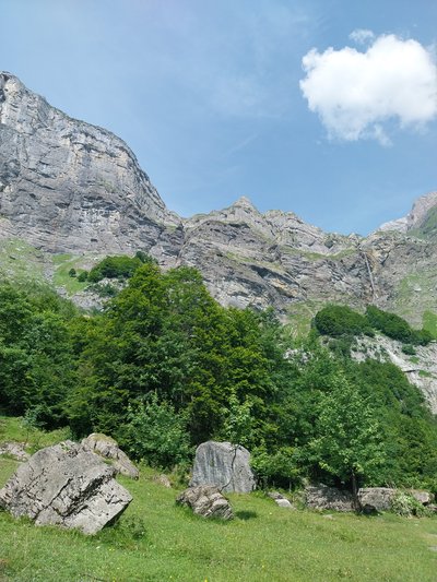
Cascade du Fours - @julietteBuret  Geology
Glacial cirque and its toponymy
The Aravis massif reaches its peak at Pointe Percée (2750 m) just above us. It is flanked by the tête de Gréppon (2033 m) on the right, and the Quatre Têtes (2364 m) on the left overlooking the Arve valley. Between these majestic peaks, glacial cirques have formed as a result of a combination of glacial and Earth movements in karst, the term ‘karst’ referring to a series of subterranean geological and hydrological processes in limestone soils. Over the years, water runs off into the soil and carves out classic mountain landscapes. The glacial erosion process is characterised by the freezing and thawing of the ice, which tears away the rock and creates hollows. The combined action of glacial erosion, gravity and the karst relief form the glacial cirques, through which the Cœur stream flows.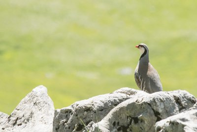
Perdix bartavelle - @julienheuret  Fauna
FaunaRock partridge
To reduce the risk of mountain birds colliding with overhead cables, it is essential to increase their visibility. As part of the Birdski project, Asters-CEN74 and other partners are proposing several high visibility kits that can be adapted to each type of equipment. You can see them here. This project is contributing to greater awareness of the presence of mountain birds in ski areas in order to limit the mortality of these species (Black Grouse, Bearded Vulture, etc.) and improve ecological interconnectivity. If you heard a particularly captivating birdsong during your hikes and liked it, you can download the Birdnet app on your smartphone that can help you identify the performing bird!
Description
Start: The Lintre-Phiterne parking area
Take the forest track in front of the car park.
At the fork, turn left towards Pont de la Flée on a shady forest track.
The path crosses two bridges: first the Bellecombe bridge, then after a slight descent you come to the Flée bridge (renovated in 2020) with its magnificent Coeur stream.
After the bridge, continue to the right along a path that climbs steeply over a small section (path on the left leads you to Cordon).
Continue straight ahead on this wide, shady path, crossing a third bridge to reach the first mountain pasture. After passing a few bends and the Chalets de la Charmette, you'll reach the second mountain pasture where you'll find the famous pierre Fendue (Split Stone).
Take a pleasant little path on the right towards Mayères and the cascade des Fours to loop round and come back down. After crossing several mountain streams, keep to the right for the descent to the car park.
- Departure : Lintre, Phiterne
- Arrival : Lintre, Phiterne
- Towns crossed : Sallanches
Altimetric profile
Recommandations
The car park has limited space, so consider car-sharing. Always be careful and plan ahead when hiking. Asters CEN-74 cannot be held responsible for any accident or inconvenience that may occur on this route. Check the weather conditions before setting off. Mountain Rescue contact details: call 112
Access and parking
Parking :
Lintre' parking area in Phiterne
Report a problem or an error
If you have found an error on this page or if you have noticed any problems during your hike, please report them to us here:
