
The Montavus loop (Boucle de Montavus) : snowshoeing in Combloux
Combloux
The Montavus loop (Boucle de Montavus) : snowshoeing in Combloux
Medium
2h
5,9km
+307m
-307m
Embed this item to access it offline
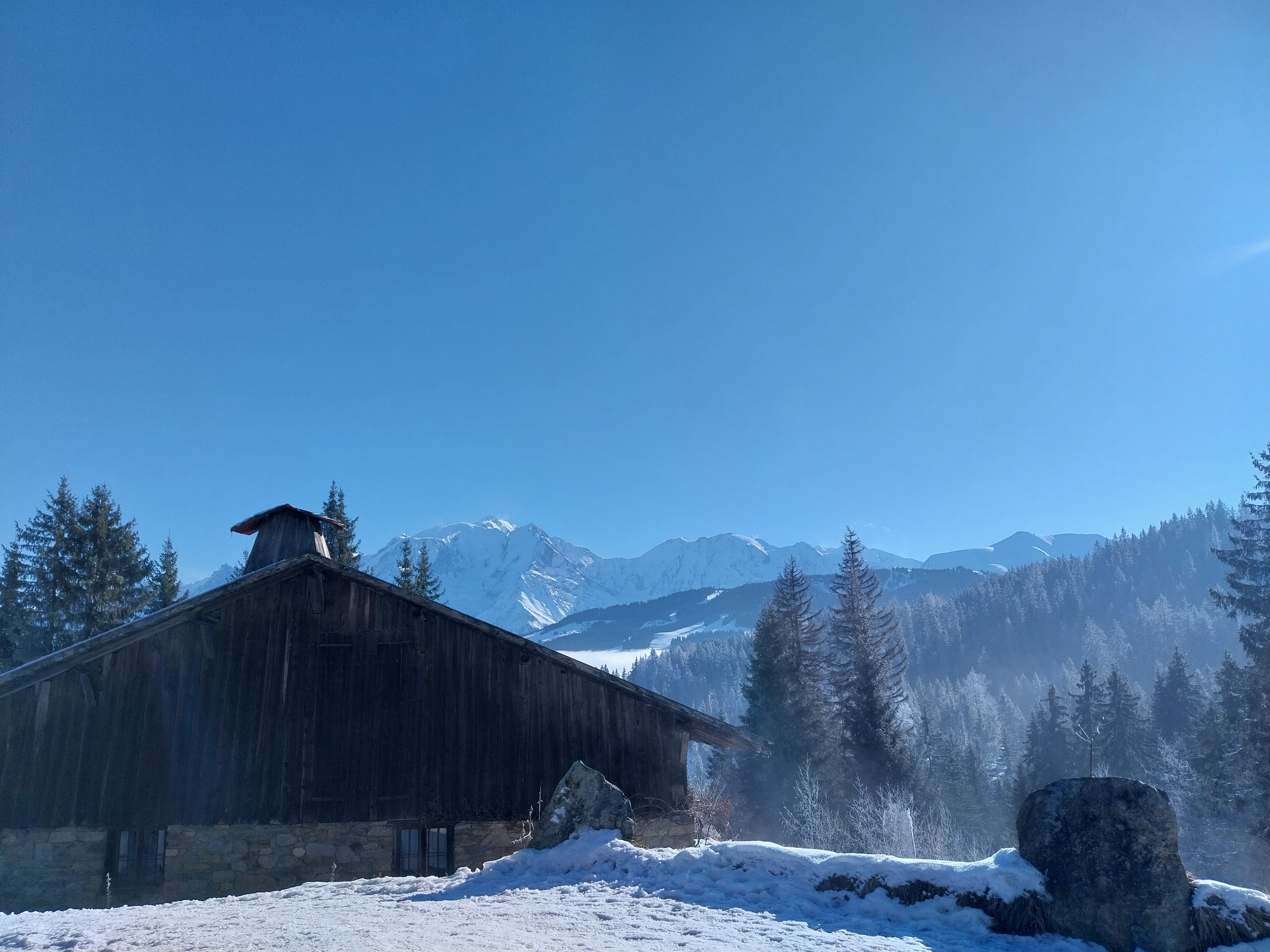
This walk takes you between fields and a forest with views of the Mont Blanc and the Fiz massifs.
3 points of interest
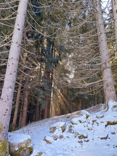
Les arbes en hiver - @julietteBuret  Flora
FloraWhat to do if you encounter a wild animal?
During harsh winters, animals have no other choice than trying their best to survive, one day at a time. Our presence on their territory will obviously disturb them, and even frighten them; so let's try to minimize this disturbance: - Stop and wait quietly until the animal goes away. - Do not shout or make sudden movements which would stress the animal even more. - Do not try to approach it nor follow it.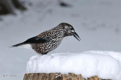
Cassenoix moucheté - @RClerc  Fauna
FaunaWinter supplies
During the dormancy phase, which starts at the end of October, trees slow down their growth until spring arrives. At this point, they begin the process of protecting themselves against frost and cold-hardening, which increases the cold tolerance of their cells and tissues. At the same time, they also maintain all the biological mechanisms they need to survive: cell respiration, root growth, etc. And for those lucky enough to retain their leaves(or needles, as is usually the case in our region), photosynthesis and transpiration. Repair processes are also triggered to prevent the formation of air bubbles in the vessels responsible for transporting the sap from the roots to the crown during the freeze-thaw cycles. From January until March, the trees' sprouts start to grow again.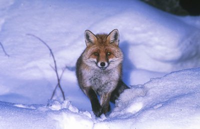
Renard hiver - @Asters-CEN74 FaunaHunting techniques of foxes
The fox can roam up to 12 km around its territory every night: surveying forests, clearings, fields, towns, railroads, pipelines... The fox has a remarkable technique for capturing small rodents. First, the predator locates its prey using its two large ears. The fox stops in place, pinpoints the prey’s exact location by sound, smell and sometimes eyesight. Then it leaps into the air almost 1m above the ground and lands on its prey, pinning it to the ground. Foxes help to maintain a healthy environment by devouring sick animals, removing carrion from the ground and helping farmers by eliminating 5,000 to 10,000 rodents a year.
Description
The route is signposted in purple colour throughout. From the Parking des Brons, head towards Le Vernay.
At Le Vernay, leave the road and turn left onto the path leading up to Le Châble d'en-Bas (1,320 m altitude).
Keep to the left and follow the Montavus loop as the path climbs towards Le Châble. Soon you will be able to see Mont Blanc.
At the crossroads, turn right towards Les Lovatières.
Continue right through the woods, leaving the main path behind to follow the snowshoe trail. Keeping to the right, the path descends towards the Montavus mountain pasture.
Turn right into the undergrowth and cross two rivers before rejoining the road.
Take a short steep climb to the right to avoid the road and reach Vernay and then the Brons parking.
- Departure : La Cry-Les-Brons - Vernay' Parking area
- Arrival : La Cry-Les-Brons - Vernay' Parking area
- Towns crossed : Combloux
Altimetric profile
Recommandations
The trail may be icy, so bring crampons and trekking poles if there isn't enough snow. Always be careful and plan ahead when hiking. Asters CEN-74 cannot be held responsible for any accident or inconvenience that may occur on this route. Check the weather conditions before setting off. Mountain Rescue contact details: call 112.
Transport
A free shuttle bus runs between the village centre and the Cry car park in winter. You can find the winter shuttle information on the PYSAE app, which you can download from app stores.
Access and parking
Parking :
de la Cry-Les Brons' parking area (1 160 m altitude) - Vernay
Report a problem or an error
If you have found an error on this page or if you have noticed any problems during your hike, please report them to us here: