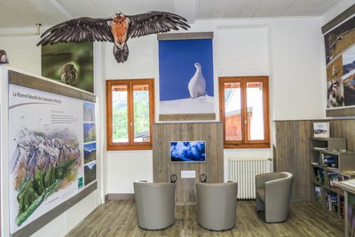
Loop trail around Chalets du Truc via Côte du Plane
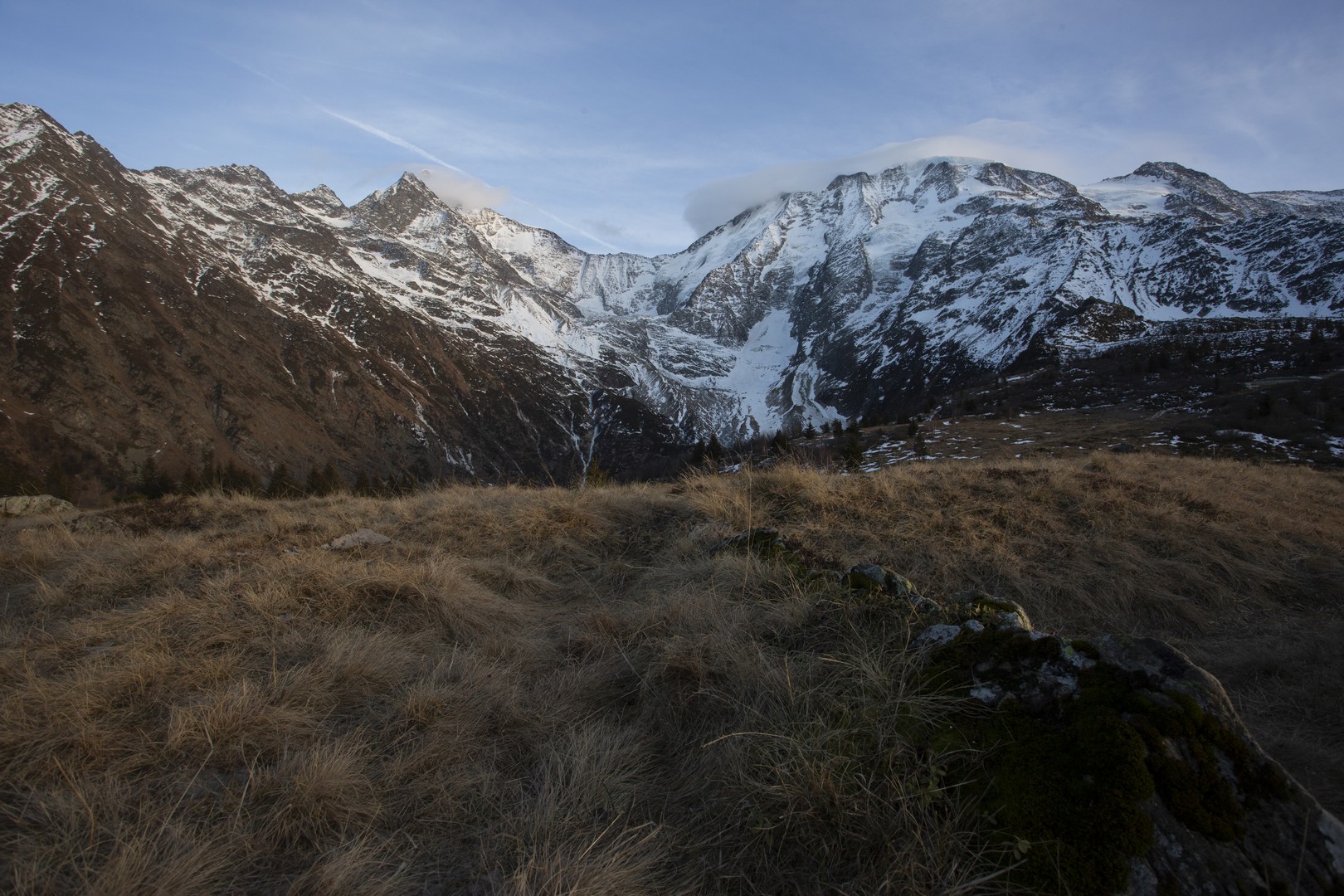
Les Contamines-Montjoie
Loop trail around Chalets du Truc via Côte du Plane
Easy
3h30
6km
+526m
-543m
Embed this item to access it offline
From the tranquility of the mountain forest to the open landscapes of mountain pastures, this hike shows you the magical diversity of the high-altitude landscapes.
5 points of interest
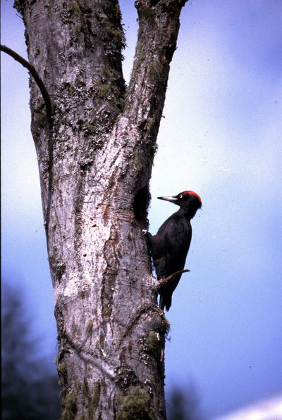
Pic noir - Daniel Gerfaud Valentin - CEN 74  Fauna
FaunaThe Black Woodpecker
It is the largest of the 8 woodpecker species found in France. Originally an exclusively mountain-dwelling species, it now can also be found in the valleys! The Black Woodpecker adapts equally well to deciduous and coniferous forests, as long as they are large enough and have large-diameter old trees and some dead wood left. It is easily recognised by its entirely black plumage enlivened by a bright red spot, limited to the nape on the females and more extensive on the males.
Portrait de chevêchette - Geoffrey Garcel - CEN 74  Fauna
FaunaThe Little Owl
Have you heard of France's smallest nocturnal bird of prey? It's the Little Owl, a tiny mountain owl! It is an absolute symbol of the nature reserve, nesting in old coniferous woodland. Fortunately, it still considers the nature reserve as its habitat, thanks to good forest management. Successful attempts were made to safeguard its breeding grounds, as well as preserving the old trees where the little owl creates its nest, making use out of excavated cavities made by three-toed-woodpeckers, as well as preservation of clearings where it hunts mice, voles, titmice and passerines.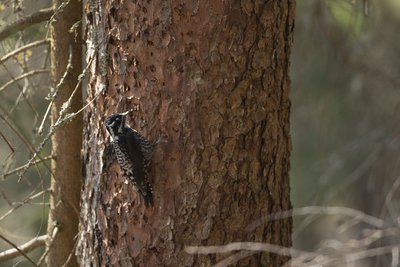
Pic tridactyle - Geoffrey Garcel - CEN 74  Fauna
FaunaThe Three-toed Woodpecker
As its name suggests, it has just three digits on each foot, whereas other woodpeckers have four! However, it is very agile at climbing trees and is the worst nightmare for wood-eating insects, especially the Bostryche, which it fancies! Be quiet, as its drumming - the way it communicates by tapping its beak on trunks or branches - is barely audible. Nevertheless, the Nature Reserve is one of the few areas where it is still present.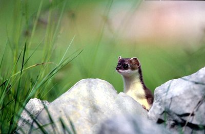
Hermine en été - @julienheuret  Fauna
FaunaThe Stoat or Short-tailed Weasel
A rocket-like appearance... White in winter with a brown back or a beige belly in summer, with a black tail tip all year round... Can you guess who's playing hide and seek in the scree? It's the Stoat, a small, fast and powerful mustelid, a member of the Badger and Marten family. It doesn't actually play, but rather hunts voles, its favourite prey, thanks to its elongated shape, which allows it to slip into their burrows, where they think they're well protected...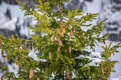
Epicéa avec ses cônes _ Glacier Tré la Tête - Julien Heuret - CEN 74  Flora
FloraThe Norway Spruce
The Christmas tree growing in our mountains is naturally adapted to the alpine climate conditions and does not fear the cold! It has cones of which many birds are fond of. You can tell it apart from Fir three by the shape of the cones: pointy, elongated and hanging for the Norway Spruce and roundy and upright for the Fir three. It is used in different ways. Its resistant wood is appreciated in carpentry, marine carpentry and violin making. Its fragrant resin is also used to make turpentine.
Description
From the car park, go up the forest track to the intersection. At the intersection, turn left on the forest track to "Chalets du Truc". Leave the forest track and take the path on your right. Turn right and continue on the upgoing forest track. You have arrived at "Chalets du Truc". To continue to "Mont Truc", continue on the same path. At the bifurcation, turn left and follow the path on the slopes of "Mont Truc". You have arrived. The return is by the same route to point 7. Continue on the forest track. At the bifurcation, take the forest track on the left. Turn right on the down-going path. At the bifurcation, turn left. Cross the paved road and take "Chemin du P'tou". Follow the path to the car park.
- Departure : Parking « la Frasse », Les Contamines-Montjoie
- Arrival : Parking la Frasse, Les Contamines-Montjoie
- Towns crossed : Les Contamines-Montjoie and Saint-Gervais-les-Bains
Altimetric profile
Sensitive areas
Along your trek, you will go through sensitive areas related to the presence of a specific species or environment. In these areas, an appropriate behaviour allows to contribute to their preservation. For detailed information, specific forms are accessible for each area.
- Impacted practices:
- Aerial, , Land, Vertical
- Contact:
- Asters - Conservatoire d'espaces naturels de Haute-Savoie
contact@cen-haute-savoie.org
Black grouse - winter
- Impacted practices:
- , Land
- Sensitivity periods:
- JanFebMarAprDec
- Contact:
- Asters - Conservatoire d'espaces naturels de Haute Savoie
Christelle BAKHACHE : 06 49 99 99 48
christelle.bakhache@cen-haute-savoie.org
Recommandations
Always exercise caution and plan ahead when hiking. Asters, CEN 74 cannot be held responsible for any accident or incident that may occur on this trail.
Access and parking
Drive to the village of Les Contamines-Montjoie. From the centre of the village, take the "La Frasse" road on the left, which leads to the hamlet of La Frasse. Continue to the end of the road and park in the car park of the same name.
Parking :
Parking la Frasse
Report a problem or an error
If you have found an error on this page or if you have noticed any problems during your hike, please report them to us here:
